Getting Around the Twin Cities Without a Car: Transit, Trails and Food Neighbourhoods
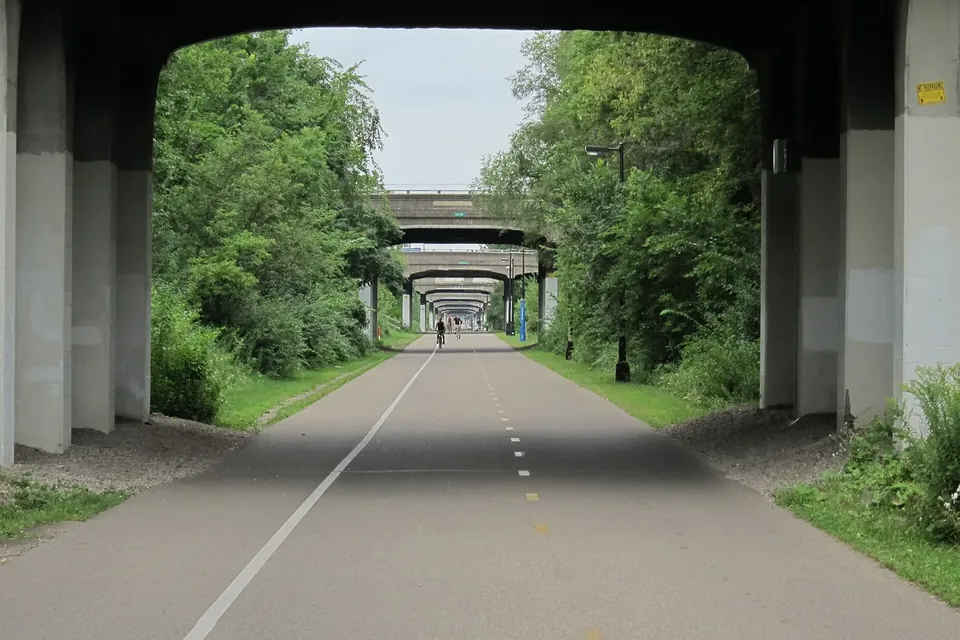
Minneapolis and Saint Paul are easier to explore without a car than many visitors expect. Two light rail lines, a fast-growing network of bus rapid transit routes and some of the best urban bike paths in the country connect most of the neighbourhoods in this guide. Here is how the system fits together, with suggested food trips and a few winter realities.
The METRO network in brief
Metro Transit, part of the Metropolitan Council, runs most public transport in the Twin Cities. Its frequent "METRO" lines are the backbone:
- Blue Line (light rail) runs from Target Field in downtown Minneapolis through the Cedar-Riverside and Longfellow areas along Hiawatha Avenue to the airport and the Mall of America. Its Lake Street/Midtown station connects with the B Line.
- Green Line (light rail) links downtown Minneapolis and downtown Saint Paul via the University of Minnesota and University Avenue. Metro Transit says an extension to the south-western suburbs is scheduled to open in 2027.
- Bus rapid transit lines use larger buses, stations with shelters and real-time signs, all-door boarding and fewer stops than local buses. They include the A Line (Snelling Avenue and nearby corridors), C Line, D Line, Orange Line (along Interstate 35W), and the three lines opened in 2025.
According to Metro Transit, the Gold Line opened in March 2025 on the Interstate 94 corridor east of Saint Paul; the B Line opened in June 2025 along Lake Street and Marshall and Selby avenues; and the E Line, the region's eighth BRT line, opened on 6 December 2025. The E Line covers a 13-mile corridor from the University of Minnesota through downtown and Uptown to Linden Hills, 50th and France and the Southdale area in Edina, with buses every 10 to 15 minutes for most of the day and service from roughly 4:30 a.m. to 1 a.m.
Paying and planning
You can pay with a Go-To card, with the Metro Transit app or at station ticket machines; local buses also accept cash. Fares and transfer rules change from time to time, so check the fares page rather than relying on old figures. Real-time departures are shown at METRO stations and in trip-planning apps. Light rail and BRT stations are step-free, and buses kneel or deploy ramps for wheelchairs and strollers.
Trails: the Greenway and the Grand Rounds
For cyclists, the Midtown Greenway is the key east–west route across south Minneapolis. Built in a sunken former railway corridor a block north of Lake Street, it runs from the lakes area near Bde Maka Ska to the Mississippi, with ramps and stairs up to the streets above, so it is ideal for a Lake Street food trip. The Minneapolis Park and Recreation Board maintains the Grand Rounds, a loop of parkways and paths that links the Chain of Lakes, Minnehaha Creek, the Mississippi riverfront and the parks of Northeast. Saint Paul has its own network along the river and Summit Avenue.
A public bike-share system operates in Minneapolis in the warmer months; check its current coverage and pricing before you rely on it. Most Metro Transit buses carry bikes on front racks, and bikes are allowed on trains.
Food trips by transit
| Trip | How to get there | Our guide |
|---|---|---|
| Lake Street markets and bakeries | B Line along Lake Street; Blue Line to Lake Street/Midtown; Midtown Greenway by bike | Lake Street |
| Linden Hills and Lake Harriet | E Line to the 44th Street stations; lake paths by bike | Linden Hills |
| Mill District and the riverfront | Green or Blue Line to downtown, then walk; Stone Arch Bridge on foot | Mill District |
| Northeast's delis and breweries | Local buses or a short bike ride across the Hennepin Avenue, Central Avenue or Broadway bridges from downtown | Northeast |
| University Avenue, Saint Paul | Green Line, with stations every half-mile or so | See below |
| Saint Paul Farmers' Market | Green Line to Union Depot or Central station, then a short walk in Lowertown | Farmers markets |
University Avenue, the route of the Green Line through Saint Paul, is one of the most varied food corridors in the region, with many Hmong, Vietnamese and other Southeast Asian, East African and Latino businesses. The stretch around the Frogtown and Thomas-Dale neighbourhoods is known as Little Mekong. Restaurants and shops change, so check current listings before making a special trip.
Winter realities
Twin Cities transit runs all year, but a January wait at a bus stop is a different experience from a June one. Dress in layers, check real-time departures before leaving home, and allow extra time after snowfalls. METRO stations have heated shelters. Many Twin Cities residents keep cycling through the winter on main trails, which the park boards plough, but it calls for studded tyres, lights and patience. Downtown Minneapolis and Saint Paul are also linked by skyways, enclosed second-floor walkways between buildings that let you cross much of each downtown indoors during business hours.
Living car-free or car-light
If you are moving to the Twin Cities, the transit map is worth studying before you choose a neighbourhood. Metro Transit notes that about 38% of the region's car-free households live within half a mile of a METRO station. Our guide to renting in Linden Hills and other Minneapolis neighbourhoods covers the practical side of finding a home.
Quick checklist
- Install a trip planner and check real-time departures.
- Get a Go-To card or the Metro Transit app for frequent travel.
- Combine transit with the Greenway or lake paths for the best food trips.
- In winter, plan for cold waits and check for service alerts after storms.
Sources
- Metro Transit: METRO E Line opening and 2025 network; METRO B Line; fares.
- Midtown Greenway Coalition.
- Minneapolis Park and Recreation Board: Grand Rounds.
- Metropolitan Council.
 Neighbourhoods
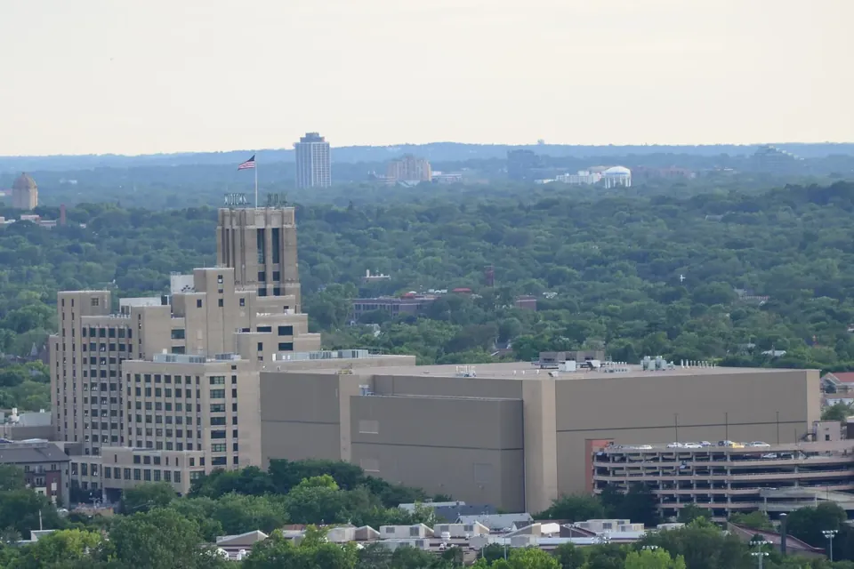
Lake Street, a city-wide food corridor
A streetcar spine, a 1928 Sears building reborn as a public market, and the immigrant businesses that define it today.
 Living here
Renting in Linden Hills and beyond
Rental licences, deposits, notice rules, Census rent figures and transit: the checks to make before signing a Minneapolis lease.
 Neighbourhoods
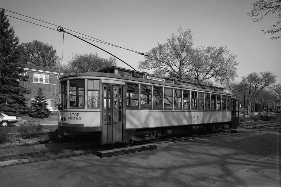
Linden Hills, from streetcar suburb to village
Lake cottages, a streetcar loop and a 1920s shopping street: how Linden Hills got its small-town feel inside the city.